Real-time decisions are needed in the aftermath of extreme weather events or natural disasters. Can synthesizing complex data products provide critical geospatial intelligence?
Extreme weather events are become more common and more intense as Earth’s climate changes, and it is predicted that the risks will escalate as the planet continues to warm.1 Regardless of the cause, local, state, and federal agencies must make real-time decisions in the immediate aftermath of such disasters. But it is not always clear what the priorities are, or which populations might be at risk of environmental exposures.
A new study published in Environmental Science & Technology Letters describes a data-driven decision-support system designed to provide actionable intelligence around key impacts on environmental health services—including private wells, restaurants, and schools.2
This system is the culmination of a decade-long transdisciplinary research program in which the team has been mapping private drinking water wells to fill a gap in national data on well locations. Disaster recovery poses unique challenges for people who rely on private wells; flooding is a risk for microbial contamination, but the relationship is not always straightforward.3 For example, after Hurricane Harvey in 2017, user-reported data showed microbial contamination was eight times higher in flooded wells compared to non-flooded ones. However, when flooding was assessed using hydraulic mapping, terrain-based modeling, and remotely sensed data, the increase was only two to three times—suggesting that these technical methods may underestimate actual flooding risks to private wells.4
Additionally, the link between well water contamination and the social environment continues to be a point of uncertainty.5 It has been estimated that between 14 and 23 million households—up to 53 million people—rely on private wells, mostly non-Hispanic White residents of varying socio-economic status.6
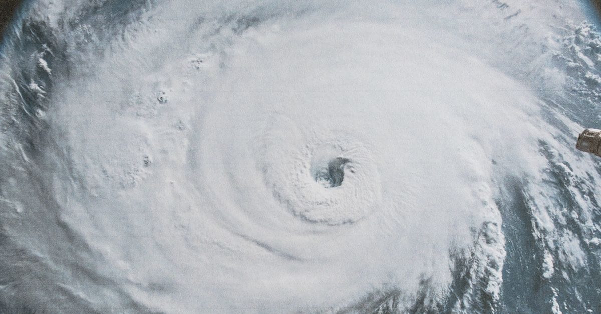
Responding After Hurricane Helene
The new decision-support technology was pitted against Hurricane Helene when it caused flooding and infrastructure damage across western North Carolina in 2024. Thanks to the mapping of key locations, the system was able to help distribute disaster relief in the aftermath. Importantly, the data collected enabled rapid conceptualization and execution of the decision-support system. By integrating publicly available and geospatial datasets, the researchers estimated that 4% of the land area across the initial disaster zones was flooded, with varying levels of severity. They also predicted flooding for 19,600 private wells, 34,300 businesses, and 500 fire stations.
This real-time information provided critical support for local health departments and state governments in making requests for emergency relief funding and planning for assistance. Overall, the decision-support system demonstrated how providing actionable intelligence can enable more effective distribution of real-time resources. The work highlights the importance of sharing knowledge and resources, and providing actionable data and insights to enhance future disaster response efforts.
“Access to real-time impact data was critical," says Larry Michael, a co-author of the study and the State Environmental Health Director and Section Chief, NCDHHS NC Division of Public Health. "It allowed our team to prioritize needs and make smarter, faster decisions to keep people safe and ensure their health and well-being.”
Members of the team have worked before on other water contamination issues, such as elevated lead in private wells. They found that underestimation of lead in wells may mask cases of elevated blood lead and block opportunities to mitigate this exposure.7 Incredibly, plumbing components in a private well are not subject to either the 1986 Lead Ban or the 2011 Reduction of Lead in Drinking Water Act requirements, and states may not even require the use “lead-free” well components.8
Since 2015, this transdisciplinary team of environmental health professionals, community-based educators and researchers, and physical scientists has worked together to advance knowledge about well water, and to program user-friendly geodatabases. Their collaborative research is now starting to pay dividends, and the scientists aim to integrate these findings into future decision-support systems designed to further protect at-risk populations.
References
- NASA. https://science.nasa.gov/climate-change/extreme-weather/
- Pieper, K. J. et al. Responding after Hurricane Helene: Rapidly Estimating Impacts to Environmental Health Services in North Carolina. Environ. Sci. Technol. Lett. 2025, 12, 7, 820–826.
- Drewry, K. R. et al. Using Inundation Extents to Predict Microbial Contamination in Private Wells after Flooding Events. Environ. Sci. Technol. 2024, 58, 12, 5220–5228.
- Pieper, K. J. et al. Microbial Contamination of Drinking Water Supplied by Private Wells after Hurricane Harvey. Environ. Sci. Technol. 2021, 55 (12), 8382–8392.
- Hayes, W. et al. Exploring Demographic Disparities in Private Well Water Testing in North Carolina. Environ. Sci. Technol. 2025, 59, 2, 1232–1242.
- Hernandez, A. and Pierce, G. The Geography and Socioeconomic Characteristics of U.S. Households Reliant on Private Wells and Septic Systems. J. Am. Water Resour Assoc. 2023, 59, 1397.
- Pieper, K. J. et al. Elevated Lead in Water of Private Wells Poses Health Risks: Case Study in Macon County, North Carolina. Environ. Sci. Technol. 2018, 52, 7, 4350–4357.
- Pieper, K. J. et al. Quantifying lead leaching potential from plumbing exposed to aggressive waters. J. - Am. Water Work. Assoc. 2016, 108 (9), E458–E466.